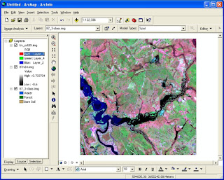
Interesting Courses of image analysis for ArcGIS
Table of content :
Introducing
Image Analysis for ArcGIS . . . . . . . . . .. . . . . . . . 1
Quick-start
tutorial . . . . . . . . . . . . . . . . . . . . . . . ..…... . . . . . 9
Applying
data tools . . . . . . . . . . . . . . . . . . . . ... . ….. . . . . . . 51
Using Data
Preparation . . . . . . . . . . . . . .
. . ...... .. . . . . . . . 67
Performing
Spatial Enhancement . . . . . . . . . . . . . . . . . . . . 79
Using
Radiometric Enhancement . . . . . . . .. . . . . . . . . . . . . 95
Applying
Spectral Enhancement . . . . . . . . .
. . . ... . .. . . . . 109
Performing
GIS Analysis . . . . . . . . . . . . . .. ..
. . . . . . .. . . . 121
Using
Utilities . . . . . . . . . . . . . . .
. . . . . . . ..….. . . . . . . . . . 137
Understanding
Classification . . . . . . . . . …. . .. . . . . . . . . . 145
Using
Conversion . . . . . . . . . . . . . . .
. . . . . . . ……. . . . . . 159
Applying
GeoCorrection tools . . . . . . . . .
. . .. … . . . . . . . . 167
To download the course :

Aucun commentaire:
Enregistrer un commentaire